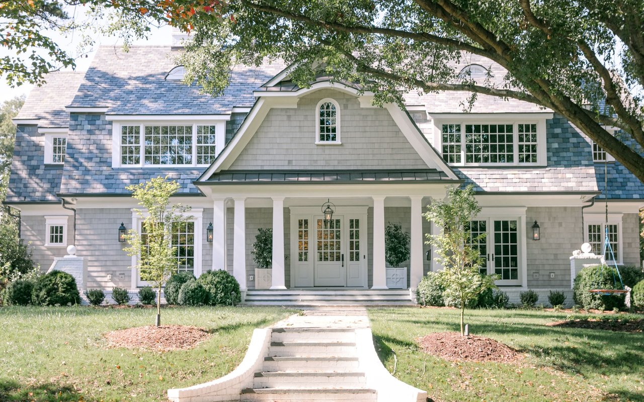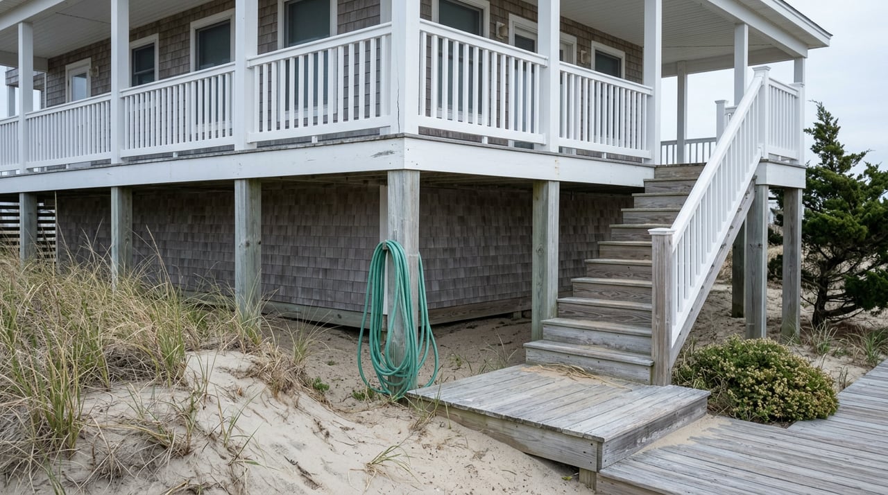
Walk the sand in south Nags Head this month and you'll notice it. The beach is wider than it was in the spring. Weeks Marine finished pumping sand from the Bonnett Street access south to the Cape Hatteras National Seashore boundary on July 19, 2026, closing out a $36.4 million project the town's Board of Commissioners approved back in February. Ten miles of oceanfront got a fresh buffer of sand, and if you're standing on a deck looking at that new stretch of beach, it's easy to assume the buildable part of your lot just got a little more room too.
It didn't. And that gap between what the beach looks like and what the setback line says is exactly the kind of detail that surfaces at the worst possible moment: after a storm, when a homeowner is standing in a building inspector's office trying to figure out why a house that's stood for thirty years suddenly can't be rebuilt where it stood.
The Line That Doesn't Move When the Sand Does
Here's the mechanism most oceanfront buyers never hear explained. Under North Carolina's Coastal Area Management Act, oceanfront construction setbacks are measured from the first line of stable natural vegetation, the point where sea oats and other dune plants start holding sand in place. Normally that line shifts as the beach naturally erodes or rebuilds. But once a town completes what the state calls a large-scale beach fill project, the rules change. The state and town survey where the vegetation line sat immediately before construction began, lock that position in as the static vegetation line, and use it as the fixed reference point for every future setback calculation, no matter how the beach looks afterward.
Nags Head just triggered that mechanism. The line the state will use to measure your setback isn't the vegetation line sitting on today's wider beach. It's the line surveyed before Weeks Marine's dredges arrived, back when a Fall 2025 beach condition survey had already found a weighted average of 27 feet of shoreline recession across the project area. That's the version of the shoreline your building envelope is now measured against, permanently, or at least until the next large-scale project resets it again.
What the Setback Actually Costs You
The state's rules for oceanfront communities with a static line don't apply one number to every house. They scale with the size of what you're building, which means the same setback distance affects a small cottage and a large rebuild very differently.
| Total floor area | Minimum setback |
|---|---|
| Under 2,500 sq ft | 60 feet, or 30 times the local annual erosion rate, whichever is greater |
| 2,500 to 5,000 sq ft | 60 feet, or 30 times the erosion rate, whichever is greater |
| Over 5,000 sq ft | 120 feet, or 60 times the erosion rate, whichever is greater |
The erosion rate itself gets set by the state's Coastal Resources Commission and is revisited periodically, so it isn't a fixed number you can look up once and forget. What matters for a Nags Head buyer is simpler: the bigger the house you want to build or rebuild, the further back from that frozen vegetation line you have to sit, and the more likely an older cottage sitting close to the water is legally nonconforming under today's math even if it was perfectly compliant the year it was built.
There's also a timing detail that's easy to miss. State rules attach a five-year waiting period after a large-scale project before certain static-line-exception development can proceed. Nags Head's project wrapped in July 2026. Anyone weighing new construction or a major addition under the exception process on an affected oceanfront lot is working against a clock that effectively just restarted.
What Happens When a House Doesn't Meet the Line Anymore
This isn't hypothetical for Nags Head. A house in South Nags Head, on Seagull Drive, became the center of a Coastal Resources Commission dispute after its owners tried to rebuild following storm damage. The family had bought the property in 2008 and their house was grandfathered under the setback rules in place at the time. But rebuilding in the same footprint would have placed the southeast corner of the house about 12 feet landward of the static vegetation line and the northeast corner about 20 feet landward, according to Coastal Review's reporting on the case. State regulators held that the property's grandfathered status didn't create an automatic hardship exception, even with other, closer houses standing on either side.
"For them not to be able to rebuild is just really tough for a lot of folks to understand," Nags Head town manager Cliff Ogburn said at the time.
That's the plain version of what this rule can do. Grandfathering protects a house's existing use. It doesn't protect a homeowner's right to rebuild that same house in that same spot if the damage is severe enough to require a new CAMA permit, and the setback math measured against a frozen vegetation line can rule that spot out entirely.
The 50 Percent Rule Is the Trigger
None of this matters if a house just needs a new roof or a repaired deck. It matters the moment repair costs cross half the physical value of the structure itself, not the lot, not the furnishings, just the house. Cross that line and you're rebuilding under current code, current setback, current everything. Nags Head isn't unusual here. It's simply the town where the static line question is freshest, because the ink on the 2026 project just dried.
This is also where the town's other oceanfront paperwork comes back into the picture, if briefly. Nags Head asks oceanfront owners to grant the town a perpetual easement allowing nourishment work on their property, and the town has been following up with owners whose easements lapsed or are set to expire in 2026. An expired easement doesn't change your setback math, but it does affect whether your specific stretch of beach gets nourished consistently going forward, which matters for the next survey that eventually updates the static line again.
What This Means Sitting Across the Closing Table
If you're evaluating an older oceanfront cottage in Nags Head, the listing photos and the current beach width tell you almost nothing about what you could legally build there if disaster struck tomorrow. The questions worth asking before you're emotionally attached to a specific house:
- Where does this parcel's static vegetation line actually sit, and how far is the existing structure from it?
- Is the current house grandfathered, and if so, how close would a rebuild in the same footprint come to today's setback requirement?
- What's the local annual erosion rate the town and state are currently using for this stretch, since that number directly sets your minimum setback?
- Has this property's beach nourishment easement been renewed, and does that affect anything about how consistently this segment of beach gets maintained?
A local CAMA permit officer or the town's planning staff can answer the first three with a parcel-specific determination. It's not something a general listing description will ever capture, and it's exactly the kind of local, verifiable detail that separates a smooth closing from a surprise six months into ownership.
A Few Direct Answers
Does the wider beach from the 2026 project mean my setback got more room? No. The setback is measured from the static vegetation line surveyed before construction, not from wherever the vegetation sits on the newly widened beach.
If my house is grandfathered, am I protected from these rules? Only for continued use as-is. A rebuild triggered by damage exceeding 50 percent of the house's value has to meet current setback requirements regardless of grandfathered status.
Is the setback the same for every oceanfront lot in town? No. It depends on the size of the structure and the locally determined erosion rate, both of which the state revisits periodically, so two neighboring lots can have different numbers.
The Outer Banks rewards patience with its oceanfront, and Nags Head's newly nourished beach is a genuine asset for the whole town, for property values, storm protection, and the beach itself. But an asset with rules attached is still worth understanding before you sign anything. If you're weighing an oceanfront purchase or trying to figure out what an existing Nags Head cottage would actually allow you to build, Corolla Real Estate can walk the parcel-specific setback questions with you before you're the one standing in the permit office finding out the hard way. Schedule a private consultation, or start with an instant home valuation to see where a specific property stands today.