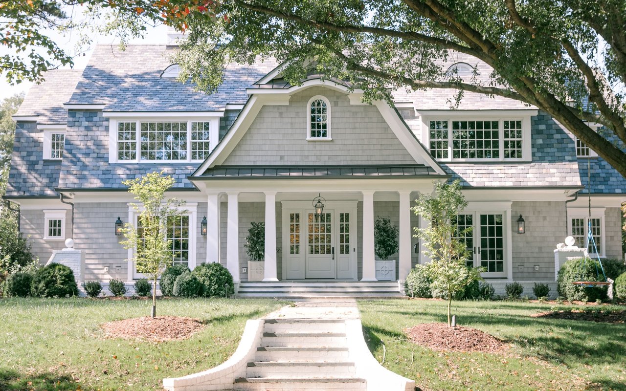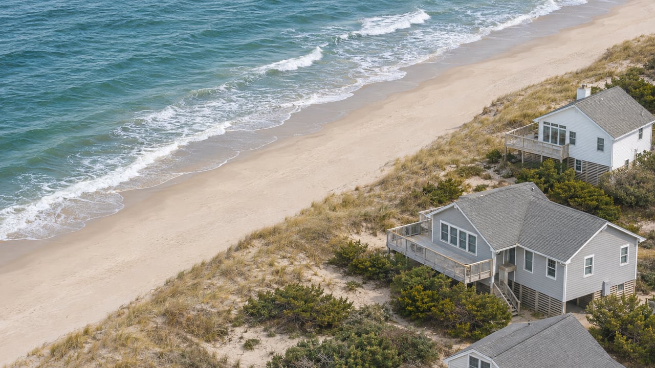
Take two Southern Shores homes, each assessed at $1,000,000. One sits on the oceanfront and the other is in Chicahauk, Southern Shores. In fiscal year 2026-27, the oceanfront owner pays about $835 toward beach nourishment and the Chicahauk owner pays about $251. The houses are worth the same. Their positions on a district map are not.
The Town of Southern Shores has adopted a coastal resilience strategy, and an oceanside beach and dune nourishment program is its top priority. The Southern Shores Beacon reported in October 2026 that the draft strategy calls for nourishing the entire oceanfront every five to seven years. That gap will keep showing up on tax bills for as long as the town keeps placing sand. The town's own beach monitoring also shows that much of the shoreline gained sand by itself after the 2022 project. For a buyer comparing streets, the nourishment levy is a recurring cost set by a parcel's address. How much the beach in front of that parcel has changed does not affect it.
Three Layers, One Line on the Bill
The town's FY 2026-27 budget ordinance sets a property tax of 18.80 cents per $100 of value for every parcel in town. Of that, 2.51 cents goes to beach nourishment. The same ordinance adds two more nourishment levies on top. Parcels in Municipal Service District 1 pay 4.08 cents, and parcels in Municipal Service District 2 pay 1.76 cents.
District 1 sits inside District 2, so the levies stack. An MSD 1 parcel pays the townwide share, the MSD 2 levy and the MSD 1 levy.
Where the parcel sits | Nourishment rate per $100 | Per $100,000 of value | On a $600,000 assessment | On a $1,000,000 assessment |
|---|---|---|---|---|
Outside both MSDs | 2.51 cents | $25.10 | $150.60 | $251 |
MSD 2 only | 4.27 cents | $42.70 | $256.20 | $427 |
MSD 1, which also pays the MSD 2 levy | 8.35 cents | $83.50 | $501 | $835 |
All of these figures cover the fiscal year that runs from July 1, 2026, to June 30, 2027. With the base rate included, the total town rate on an MSD 1 parcel comes to 24.64 cents per $100, compared with 18.80 cents for a parcel outside both districts.
Where the District Lines Fall
The town's MSD report draws the districts by street and location, not by distance to the water:
- MSD 1 covers properties that abut the ocean plus the oceanside properties east of Ocean Boulevard that do not abut it.
- MSD 2 covers all of MSD 1, everything east of NC 12 along both the Ocean Boulevard and Duck Road segments, and some lots on the west side of the road. On Ocean Boulevard those run from the southern town limit to 137 Ocean Blvd. On Duck Road they run from 139 to 149 Duck Road.
- Neither district includes Chicahauk or the areas west of Duck Road, apart from the 139 to 149 Duck Road lots, as described in the Southern Shores Beacon's March 2021 coverage during the hearings on the district plan.
This means a house across the street from the oceanfront row can carry a different nourishment rate from a house a few lots west on the same street. Listing descriptions rarely mention it, but the tax bill does.
The Split Has Shifted Since 2021
At the 2021 hearing, Town Manager Cliff Ogburn described a tentative plan for the town's share of the 2022 project. MSD 1 owners would pay 35 percent, MSD 2 owners 30 percent and the rest of town 35 percent. His projected rates at the time were 2.75 cents townwide, 6.25 cents in MSD 2 and 14.5 cents in MSD 1. Those were projections. They were never adopted rates.
The current budget shows a different balance. For FY 2026-27, the town expects these nourishment revenues:
- Townwide beach nourishment: $712,598, or about 64 percent of the total
- MSD 1: $214,781, or about 19 percent
- MSD 2, which MSD 1 parcels also pay: $194,084, or about 17 percent
Under the 2021 plan, the two districts together were to carry about 65 percent of the town's share. In this year's budget, the townwide levy brings in nearly two-thirds of the nourishment tax revenue. The district rates are much lower than the 2021 projections, and they are set again in every annual budget. A buyer's nourishment cost therefore depends on how the Council divides the cost each year, not only on the district map.
The rule behind the district layer comes from state law. The Beacon's 2021 coverage cites NCGS 160A-537(a), which lets a town create a service district only when that area needs the service "to a demonstrably greater extent than the remainder" of the town. The 2027 round raises that standard again, because the monitoring data show the shoreline changed unevenly.
What the Sand Did Between Rounds
Coastal Protection Engineering of N.C. monitors the town's 3.7 miles of beach at profile points 1,000 feet apart, usually each June. According to the Southern Shores Beacon's July 2026 account, the four years since the 2022 project broke down this way:
- Northern Section, north of Fourth Avenue: gained 177,500 cubic yards through natural accretion, on top of the 124,000 cubic yards placed in 2022.
- Southern Section, from about Chicahauk Trail to the Kitty Hawk line: gained 49,500 cubic yards on top of the 343,700 placed in 2022.
- Central Section, in between: lost 57,900 cubic yards, about 10 percent of the 580,800 placed there.
Senior program manager Ken Willson's slides are posted on the town's beach maintenance plan page. He has proposed placing 375,000 cubic yards in 2027. Mayor Pro Tem Matt Neal asked whether the town had to place a minimum amount. The Beacon reported Willson's answer that the "minimum fill" for Southern Shores is 375,000 cubic yards "to stay ahead of the game."
Neal also asked whether the project could be designed to protect the sandbars that had formed since 2022. The Beacon reported Willson's reply that the bars "will be smothered" by the dredging. Owners who rent their homes have a stake in that answer, because the surf and fishing conditions guests find in summer depend on those sandbars.
The 2027 Round in Dollars
The Beacon reported three cost estimates for the Southern Shores share of the 2027 work. Each one depends on how long the town waits before the next round:
- A five-year interval, with the next round in 2032: $6,793,900
- A six-year interval, with the next round in 2033: $6,734,000
- A seven-year interval, with the next round in 2034: $6,679,600
The longer intervals cost less because Southern Shores splits mobilization costs with Duck, Kitty Hawk and Kill Devil Hills, and a longer cycle shrinks its share of those costs. Across the four towns, the Outer Banks Voice reported in August 2026 a combined estimate of $42.5 million on a five-year cycle. The Voice also reported that Dare County shares 50 percent of nourishment costs with the towns overall. The county's share comes from its Beach Nourishment Fund, which the Beacon has reported receives one-third of county occupancy tax receipts.
Dare County's beach nourishment page lists Southern Shores among the planned 2027 project areas, with construction starting in 2027. The Beacon put the likely window at May to October 2027. The Voice said projects like this usually run from May into September. The county lists the cost of the town's last project, built from October 7 to November 22, 2022, as $11,457,602.
Within the current budget, the town is moving $103,936 into its Beach Nourishment Capital Reserve this year. Next door, the Kitty Hawk FY 2026-27 draft budget dated May 4, 2026, recommended a 2-cent nourishment component within a 23.5-cent townwide rate, plus a 6-cent MSD rate.
Reading the Tax Line Before an Offer
For a buyer comparing an oceanfront listing with one on the west side of Duck Road, the nourishment levy is one of the few carrying costs that is fixed by the parcel's location. The draft strategy, as the Beacon described it, has the full-oceanfront program repeating every five to seven years, and the ordinance sets new rates every budget year. The Town's announcement of the strategy notes that individual projects still depend on funding and Council consideration. The FY 2027-28 rates will be set in next year's budget ordinance.
Three details on a given property decide what it costs. The first is whether the parcel falls in MSD 1, MSD 2 or neither. The second is its assessed value as listed by the Dare County Tax Department. The third is the rates in the current ordinance. A $750,000 assessment in MSD 1 adds about $626 a year in nourishment tax at today's rates, compared with about $188 for the same value outside both districts. This post is general information, not legal, tax or financial advice. Confirm the figures for any specific property with the county tax office or a qualified professional.
If you're weighing a Southern Shores oceanfront home against one west of NC 12, Corolla Real Estate can map each property's district and work its nourishment levy and rental position into your numbers before you write an offer. Schedule a private consultation and we'll go through it with you.